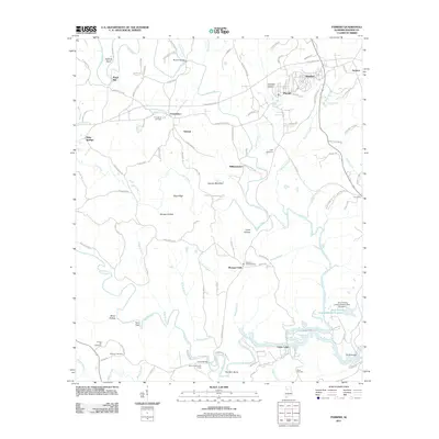
2011 Map of Parrish
USGS Topo · Published 2011About this map
Lost Creek and its many tributaries, including Indian Creek and Wolf Creek, define the landscape of this Walker County region as it appeared in the early 21st century. The town of Parrish serves as a central hub, flanked by the residential pockets of Standard and America. The map captures a transition in the local industry and environment, most notably through the presence of Strip Mining Impoundment Number 1 in the southeast, which stands in contrast to the traditional family-named landmarks like Gayosa Mountain and The Shin Bone.
Find a feature on this map
116 named features on this map. Tap any name to fly to it.
Don’t see what you’re looking for? This feature index may not catch every label — zoom into the map to look around manually.
Map Details
Editions of this 2011 Parrish Map
This is the sole edition of this map. No revisions or reprints were ever made.
Other maps of this area

1893 · Jasper
USGS Topo · 1:125,000

1935 · Port Birmingham
USGS Topo · 1:48,000

1938 · Port Birmingham
USGS Topo · 1:62,500

1949 · Cordova
USGS Topo · 1:24,000

1949 · Parrish
USGS Topo · 1:24,000

1949 · Townley
USGS Topo · 1:24,000

1949 · Jasper
USGS Topo · 1:24,000

1949 · Oakman
USGS Topo · 1:24,000

1949 · Tutwiler School
USGS Topo · 1:24,000

1949 · Wiley
USGS Topo · 1:24,000