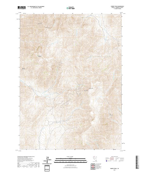
2021 Map of Parrot Peak
USGS Topo · Published 2021About this map
Parrot Peak and the high ridges of the Jackson Mountains dominate this high-desert landscape in northern Nevada. The terrain is defined by dramatic elevation changes, characterized by steep drainages like Mike O'Brian Canyon and Blind Canyon that carve through the northern peaks. These features, along with Quinn Peak and DeLong Peak, suggest a landscape where water is a critical and seasonal resource. A complex network of drainages such as Mary Sloan Cr, Trout Cr, and Bottle Cr flows from the heights toward the valleys below, while isolated water sources like Willow Spring provide vital points of interest for those navigating this remote backcountry. The area's character is purely topographical, reflecting the stark and undisturbed nature of the Great Basin's basin-and-range geography.
Find a feature on this map
26 named features on this map. Tap any name to fly to it.
Don’t see what you’re looking for? This feature index may not catch every label — zoom into the map to look around manually.
Map Details
Editions of this 2021 Parrot Peak Map
This is the sole edition of this map. No revisions or reprints were ever made.
Other maps of this area

1886 · Disaster
USGS Topo · 1:250,000

1893 · Disaster
USGS Topo · 1:250,000

1954 · Vya
USGS Topo · 1:250,000

1958 · Vya
USGS Topo · 1:250,000

1961 · Bottle Creek
USGS Topo · 1:62,500

1962 · Vya
USGS Topo · 1:250,000

1966 · Donna Schee Peak
USGS Topo · 1:62,500

1966 · King Lear Peak
USGS Topo · 1:62,500

1972 · Deer Creek Slough
USGS Topo · 1:24,000

1972 · Hobo Canyon
USGS Topo · 1:24,000