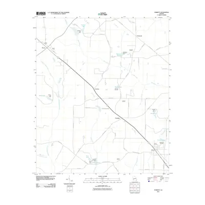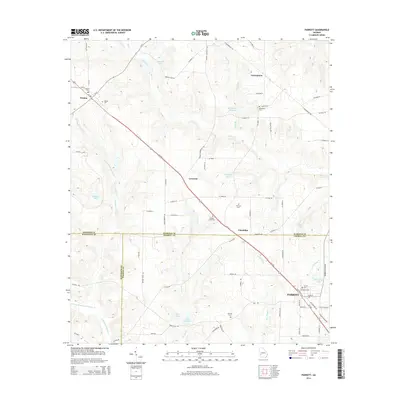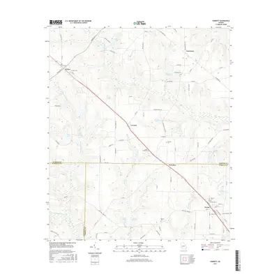
2024 Map of Parrott
USGS Topo · Published 2024About this map
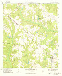
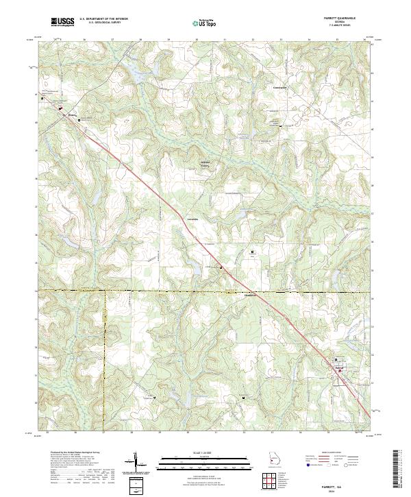
The rural landscape of Southwest Georgia is defined here by the confluence of Webster, Terrell, and Randolph counties. The town of Parrott anchors the southeastern corner, serving as a hub for the surrounding agricultural community, while Weston occupies the northwestern reach along a corridor connecting the two via Leveretts and Chambliss. This area is heavily influenced by its water sources, with Turkey Creek and Ichawaynochaway Creek cutting through the terrain to feed various millponds and lakes.
Find a feature on this map
100 named features on this map. Tap any name to fly to it.
Don’t see what you’re looking for? This feature index may not catch every label — zoom into the map to look around manually.
Map Details
Editions of this 2024 Parrott Map
This is the sole edition of this map. No revisions or reprints were ever made.
Historical Maps of Parrott Through Time
6 maps found