Loading...
Loading map...2022 Map of Parsons East
USGS Topo · Published 2022About this map
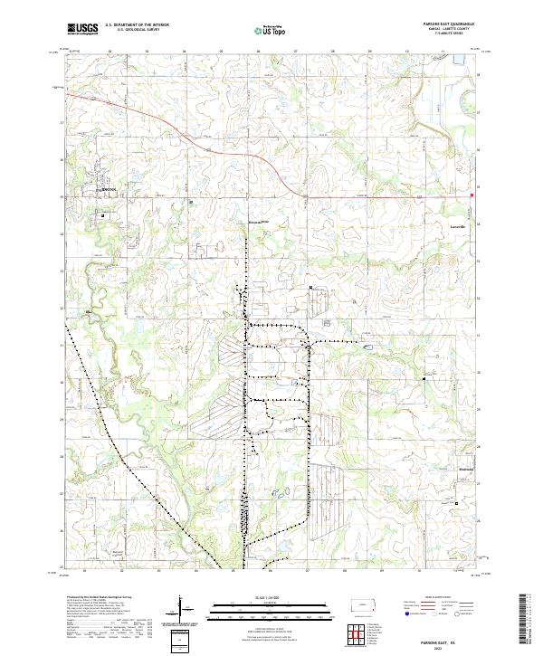
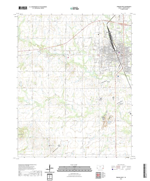
Labette Creek and the Neosho River define the agricultural landscape of Labette County in this recent survey. The eastern outskirts of Parsons show residential development near Oakwood Cem, while the surrounding prairie remains dominated by a strict sectional grid and scattered rural settlements like Brownstone and Laneville. The southeastern corner of the map features the community of Montana near the riverbanks, an area with deep roots evidenced by the nearby Masonic Cem.
Find a feature on this map
52 named features on this map. Tap any name to fly to it.
Don’t see what you’re looking for? This feature index may not catch every label — zoom into the map to look around manually.
Map Details
Date Portrayed2022
Date Published2022
PublisherU.S. Geological Survey
Map TypeTopographic
Scale1:24000
Physical Dimensions24 x 29 inches
Editions of this 2022 Parsons East Map
This is the sole edition of this map. No revisions or reprints were ever made.
Historical Maps of Parsons Through Time
7 maps found
Featured Locations
Source Details
SourceU.S. Geological Survey
CopyrightPublic Domain