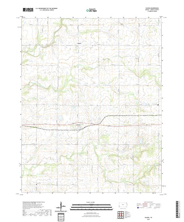
2022 Map of Valeda
USGS Topo · Published 2022About this map
Valeda and Angola anchor this rural landscape in Labette County, where a strictly organized grid of county roads defines the settlement patterns. The topography is shaped by the winding paths of Pumpkin Creek and Deer Creek, which cut across the geometric land divisions of the Public Land Survey System. These waterways and smaller tributaries like Snow Cr and Rock Cr provide the primary relief in an otherwise agricultural expanse. For local history researchers, the map identifies small, significant landmarks such as Lei Cem and Roberts Cem, which serve as quiet markers of the area's early residents. The presence of Mallard Pond and the intersection of Valeda RD and 4000 RD highlight the central role of these small hubs in the broader farming community during the early twenty-first century.
Find a feature on this map
47 named features on this map. Tap any name to fly to it.
Don’t see what you’re looking for? This feature index may not catch every label — zoom into the map to look around manually.
Map Details
Editions of this 2022 Valeda Map
This is the sole edition of this map. No revisions or reprints were ever made.
Other maps of this area

1886 · Independence
USGS Topo · 1:125,000

1886 · Parsons
USGS Topo · 1:125,000

1893 · Parsons
USGS Topo · 1:125,000

1894 · Independence
USGS Topo · 1:125,000

1901 · Nowata
USGS Topo · 1:125,000

1901 · Vinita
USGS Topo · 1:125,000

1905 · Independence
USGS Topo · 1:125,000

1913 · Vinita
USGS Topo · 1:125,000

1914 · Nowata
USGS Topo · 1:125,000

1946 · Mound Valley
USGS Topo · 1:62,500