2022 Map of Parsons West
USGS Topo · Published 2022About this map
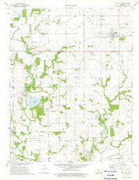
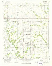
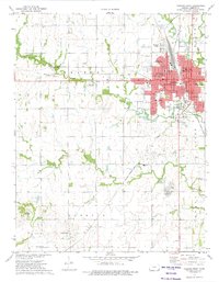
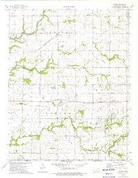
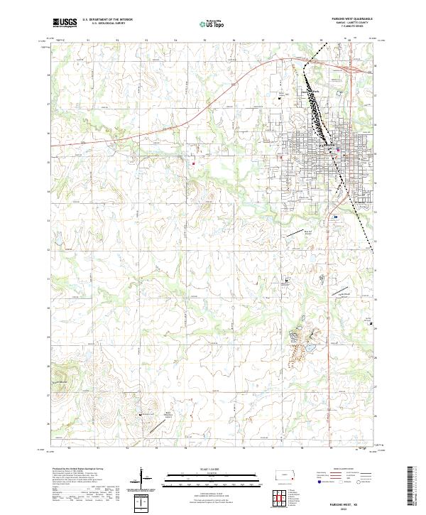
Parsons stands as the primary urban center in this Southeast Kansas landscape, situated near the headwaters of Little Labette Creek. The 2022 survey details a community infrastructure featuring the Labette County Judicial Center and Labette Community College, surrounded by residential developments like Orchard Park and Winway. The surrounding countryside transitions into agricultural plots and local airfields, including Blue Sky Airport and Papas Dream Airport, reflecting the region's modern layout. This map provides critical documentation for genealogists, identifying several local burial sites such as Mount Calvary Cem, Wilsonon Cem, and Memorial Lawn Cem. To the west, the terrain is marked by Tackett Mound, rising above the drainages of Bachelor Cr and Little Bachelor Cr. The grid-like road system, defined by routes like North Blvd and Union RD, anchors the connectivity between the township and its outlying rural sectors.
Find a feature on this map
67 named features on this map. Tap any name to fly to it.
Don’t see what you’re looking for? This feature index may not catch every label — zoom into the map to look around manually.
Map Details
Editions of this 2022 Parsons West Map
This is the sole edition of this map. No revisions or reprints were ever made.
Historical Maps of Parsons Through Time
7 maps found