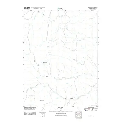
2021 Map of Paskenta
USGS Topo · Published 2021About this map
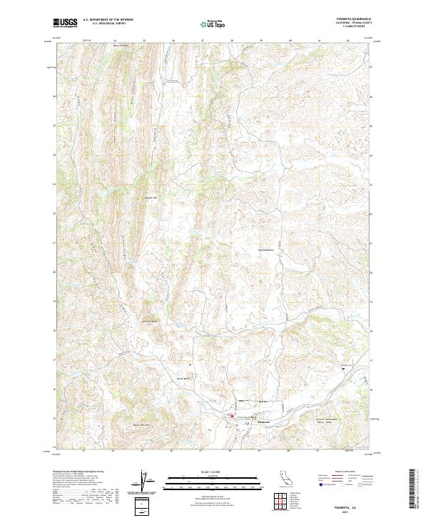
Paskenta sits at the base of the eastern foothills where the rugged canyons of the Coast Ranges meet the flat expanse of the Sacramento Valley. This landscape is defined by a complex drainage system where Thames Cr and McCarty Cr flow eastward through deeply carved terrain like Hull Canyon and Gordon Canyon. The transition from mountain to valley is marked by prominent elevations such as Whitlock Butte, Owens Butte, and Digger Pine Hill, which rise above the surrounding flats.
Find a feature on this map
49 named features on this map. Tap any name to fly to it.
Don’t see what you’re looking for? This feature index may not catch every label — zoom into the map to look around manually.
Map Details
Editions of this 2021 Paskenta Map
This is the sole edition of this map. No revisions or reprints were ever made.
Historical Maps of Rancho Tehama Reserve Through Time
7 maps found