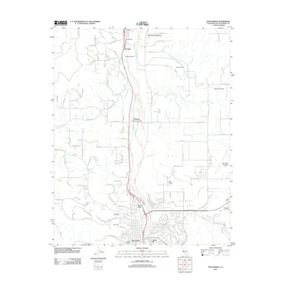
2012 Map of Paso Robles
USGS Topo · Published 2012About this map
The Salinas River valley defines this Central Coast landscape, flowing northward through a region characterized by its transitioning agricultural and residential development. The city of Paso Robles occupies the southern portion of the map, established near Capital Hill and Fern Canyon. The area's celebrated viticulture is evident through the presence of established estates like Mission View Vineyards, Martin Brothers Winery, and Eberle Winery. To the north, the confluence of the Estrella River and the Salinas provides a backdrop for smaller settlements such as Wellsona and San Lawrence Terrace. This survey captures the infrastructure of the early 21st century, from the Paso Robles Municipal Airport in the east to the Paso Robles District Cem and residential enclaves like Oak Park. The map also traces the winding courses of Huerhuero Cr and San Marcos Cr as they drain the surrounding canyons, including Bridge Canyon and Lowes Canyon.
Find a feature on this map
40 named features on this map. Tap any name to fly to it.
Don’t see what you’re looking for? This feature index may not catch every label — zoom into the map to look around manually.
Map Details
Editions of this 2012 Paso Robles Map
This is the sole edition of this map. No revisions or reprints were ever made.
Other maps of this area

1919 · San Miguel
USGS Topo · 1:62,500

1919 · Paso Robles
USGS Topo · 1:62,500

1919 · Bradley
USGS Topo · 1:62,500

1919 · Adelaida
USGS Topo · 1:62,500

1932 · Adelaida
USGS Topo · 1:62,500

1941 · Bradley
USGS Topo · 1:62,500

1942 · Adelaida
USGS Topo · 1:62,500

1943 · Paso Robles
USGS Topo · 1:62,500

1947 · San Luis Obispo
USGS Topo · 1:250,000

1947 · San Miguel
USGS Topo · 1:62,500