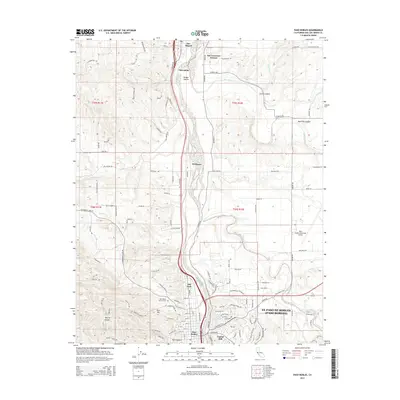
2015 Map of Paso Robles
USGS Topo · Published 2015About this map
Paso Robles and its surrounding agricultural and riverine landscape are documented here along the corridor of the Salinas River. The settlement pattern follows the river valley and its tributaries, including the Estrella River and Huerhuero Creek, with the city expanding toward Capital Hill and Norn Hill. Notable cultural landmarks include the Old Adobe north of Wellsona and the Paso Robles District Cemetery.
Find a feature on this map
152 named features on this map. Tap any name to fly to it.
Don’t see what you’re looking for? This feature index may not catch every label — zoom into the map to look around manually.
Map Details
Editions of this 2015 Paso Robles Map
This is the sole edition of this map. No revisions or reprints were ever made.
Other maps of this area

1919 · San Miguel
USGS Topo · 1:62,500

1919 · Paso Robles
USGS Topo · 1:62,500

1919 · Bradley
USGS Topo · 1:62,500

1919 · Adelaida
USGS Topo · 1:62,500

1932 · Adelaida
USGS Topo · 1:62,500

1941 · Bradley
USGS Topo · 1:62,500

1942 · Adelaida
USGS Topo · 1:62,500

1943 · Paso Robles
USGS Topo · 1:62,500

1947 · San Luis Obispo
USGS Topo · 1:250,000

1947 · San Miguel
USGS Topo · 1:62,500