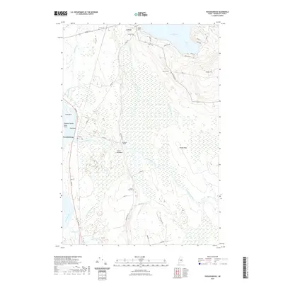
2021 Map of Passadumkeag
USGS Topo · Published 2021About this map
Cold Stream Pond and its southeastern reach at Webb Cove dominate the northern landscape of this Penobscot County region. The terrain transitions from the elevations of Vinegar Hill and Roundy Ridge down into the expansive Thousand Acre Bog, a low-lying wetland environment that separates the upland settlements. Along the western edge, the Penobscot River flows past a cluster of landforms including Long Island, Hog Island, and the Thorofare Islands, while the Passadumkeag River meanders eastward through the heart of the territory.
Find a feature on this map
54 named features on this map. Tap any name to fly to it.
Don’t see what you’re looking for? This feature index may not catch every label — zoom into the map to look around manually.
Map Details
Editions of this 2021 Passadumkeag Map
This is the sole edition of this map. No revisions or reprints were ever made.
Other maps of this area

1917 · Passadumkeag
USGS Topo · 1:62,500

1920 · Winn
USGS Topo · 1:62,500

1931 · Saponac
USGS Topo · 1:48,000

1934 · Saponac
USGS Topo · 1:62,500

1942 · Lincoln
USGS Topo · 1:62,500

1954 · Millinocket
USGS Topo · 1:250,000

1957 · Lincoln
USGS Topo · 1:62,500

1957 · Saponac
USGS Topo · 1:62,500

1958 · Millinocket
USGS Topo · 1:250,000

1960 · Millinocket
USGS Topo · 1:250,000