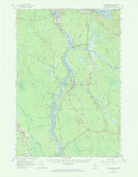
1960 Map of Passadumkeag
USGS Topo · Published 1969About this map
The Penobscot River serves as the central artery for this portion of Maine, where the Maine Central Railroad parallels its western banks through Passadumkeag and Olamon. The river landscape is dotted with significant islands, including Sugar Island and Olamon Island, which are part of the Penobscot Indian Reservation. This era shows a community infrastructure built around natural resources and seasonal recreation, evidenced by the Fish Hatchery near Cold Stream Pond and a State Nursery located just north of Scotts Corners. Local life is anchored by small-town institutions like the Township Sch and rural worship centers such as Cardville Ch and Alton Ch. The map also captures mid-century social markers, such as a Drive-in Theater near West Enfield, alongside numerous family burial grounds including Sunny Slope Cem and Edinburg Cem.
Find a feature on this map
100 named features on this map. Tap any name to fly to it.
Don’t see what you’re looking for? This feature index may not catch every label — zoom into the map to look around manually.
Map Details
Editions of this 1960 Passadumkeag Map
2 editions found
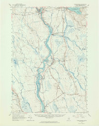
Other maps of this area

1902 · Orono
USGS Topo · 1:62,500

1902 · Bangor
USGS Topo · 1:62,500

1917 · Passadumkeag
USGS Topo · 1:62,500

1920 · Winn
USGS Topo · 1:62,500

1929 · Great Pond
USGS Topo · 1:48,000

1931 · Saponac
USGS Topo · 1:48,000

1932 · Great Pond
USGS Topo · 1:62,500

1933 · Boyd Lake
USGS Topo · 1:62,500

1934 · Saponac
USGS Topo · 1:62,500

1942 · Lincoln
USGS Topo · 1:62,500