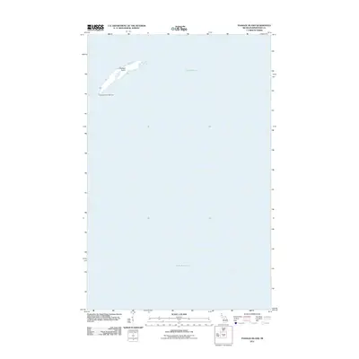
2011 Map of Passage Island
USGS Topo · Published 2011About this map
Passage Island sits as a lonely sentinel in the cold expanse of Lake Superior, serving as a critical navigational marker for ships traversing the northern reaches of the Great Lakes. The island is the primary feature of this 2011 survey, dominated at its southwestern tip by the Passage Island Lighthouse. This beacon has historically guided vessels through the narrow channel between the island and the main body of Isle Royale. The landscape here is defined by its isolation, with the surrounding waters of the lake making up the vast majority of the quadrangle. The map captures the island’s narrow, elongated profile, a geologic formation that stands as one of the northernmost points of Michigan’s territory.
Find a feature on this map
3 named features on this map. Tap any name to fly to it.
Don’t see what you’re looking for? This feature index may not catch every label — zoom into the map to look around manually.
Map Details
Editions of this 2011 Passage Island Map
This is the sole edition of this map. No revisions or reprints were ever made.
Other maps of this area

1895 · Passage Island
USGS Topo · 1:62,500

1959 · Fort William
USGS Topo · 1:250,000

1968 · Fort William
USGS Topo · 1:250,000

1985 · Todd Harbor
USGS Topo · 1:100,000
1985 · Rock Harbor Lodge
USGS Topo · 1:24,000
1985 · Passage Island
USGS Topo · 1:24,000
2011 · Rock Harbor Lodge
USGS Topo · 1:24,000
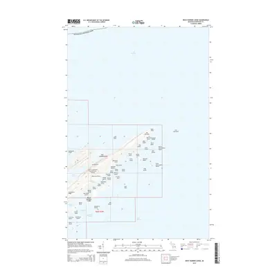
2014 · Rock Harbor Lodge
USGS Topo · 1:24,000
2014 · Passage Island OE N
USGS Topo · 1:24,000
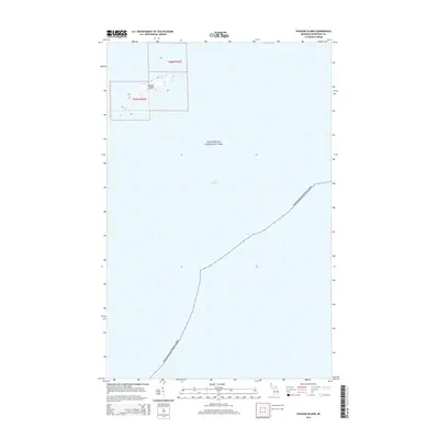
2014 · Passage Island
USGS Topo · 1:24,000