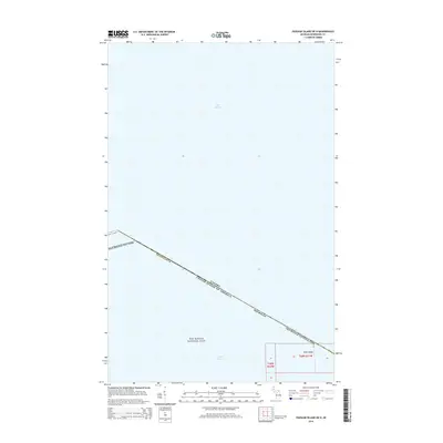
2014 Map of Passage Island OE N
USGS Topo · Published 2014About this map
Lake Superior dominates this nautical boundary survey, where the international border separates the waters of the United States and Canada. This specific section of the border runs northwest to southeast, cutting through the northern reaches of Isle Royale National Park within Keweenaw County. The map provides a precise look at the maritime geography of the region before it reaches the northeastern tip of the archipelago. In the lower corner, the Gull Islands emerge from the lake, marking a remote rocky feature in the open water. The layout illustrates the intersection of public land survey divisions, including t68n r31w and t68n r32w, as they extend across the park's protected waters.
Find a feature on this map
9 named features on this map. Tap any name to fly to it.
Don’t see what you’re looking for? This feature index may not catch every label — zoom into the map to look around manually.
Map Details
Editions of this 2014 Passage Island OE N Map
This is the sole edition of this map. No revisions or reprints were ever made.
Other maps of this area

1895 · Passage Island
USGS Topo · 1:62,500

1959 · Fort William
USGS Topo · 1:250,000

1968 · Fort William
USGS Topo · 1:250,000

1985 · Todd Harbor
USGS Topo · 1:100,000
1985 · Rock Harbor Lodge
USGS Topo · 1:24,000
1985 · Passage Island
USGS Topo · 1:24,000
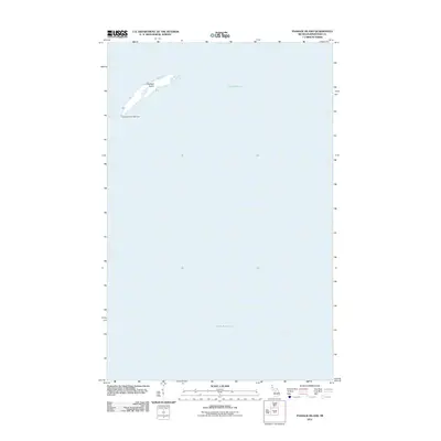
2011 · Passage Island
USGS Topo · 1:24,000
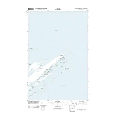
2011 · Rock Harbor Lodge
USGS Topo · 1:24,000
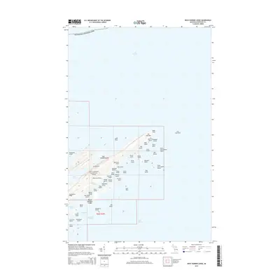
2014 · Rock Harbor Lodge
USGS Topo · 1:24,000
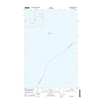
2014 · Passage Island
USGS Topo · 1:24,000