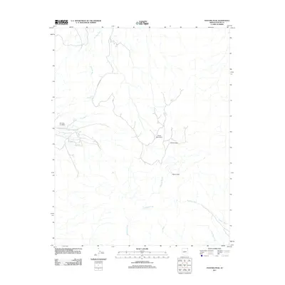
2011 Map of Pastora Peak
USGS Topo · Published 2011About this map
Pastora Peak and the high elevations of the Carrizo Mountains dominate this high-desert landscape in northern Apache County. The map documents a complex network of seasonal watercourses and intermittent springs that define the area's geography, including the prominent Blackhorse Creek and Dry Farm Wash. Transportation is limited to rugged corridors such as Indian Rte 5036 and Apache Co Road COC-535, which navigate between significant landforms like Toh Chin Lini Mesa and Zilbetod Peak. These markers provide critical orientation for understanding land use and resource access in a region where isolated water sources like Stop Trail Spring and First Spring were essential for local navigation and livestock.
Find a feature on this map
15 named features on this map. Tap any name to fly to it.
Don’t see what you’re looking for? This feature index may not catch every label — zoom into the map to look around manually.
Map Details
Editions of this 2011 Pastora Peak Map
This is the sole edition of this map. No revisions or reprints were ever made.
Other maps of this area

1892 · Canyon De Chelly
USGS Topo · 1:250,000

1953 · Los Gigantes NE
USGS Topo · 1:24,000

1953 · Redrock Valley NE
USGS Topo · 1:24,000

1953 · Pastora Peak SW
USGS Topo · 1:24,000

1953 · Pastora Peak NW
USGS Topo · 1:24,000

1953 · Dinne Mesa NE
USGS Topo · 1:24,000

1953 · Pastora Peak NE
USGS Topo · 1:24,000

1953 · Redrock Valley NW
USGS Topo · 1:24,000

1953 · Dinne Mesa SE
USGS Topo · 1:24,000

1953 · Pastora Peak SE
USGS Topo · 1:24,000