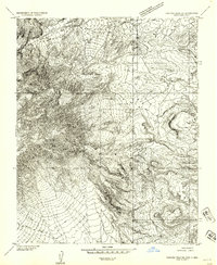
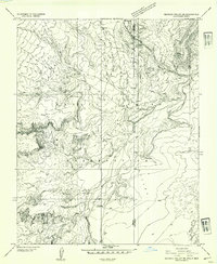
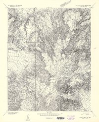
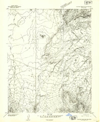
1953 Map of Pastora Peak SE
USGS Topo · Published 1954About this map
Navajo Indian Reservation lands straddle the border of Arizona and New Mexico in this mid-century topographic study. The landscape is defined by the complex drainage systems of Cottonwood Canyon and several ephemeral watercourses, including Gome Wash and Blackrock Wash. This period in the early 1950s shows the area during a time of transition, where established local hubs like the Beclabito Trading Post served as vital points of contact and commerce for the surrounding community of Beclabito.
Find a feature on this map
11 named features on this map. Tap any name to fly to it.
Don’t see what you’re looking for? This feature index may not catch every label — zoom into the map to look around manually.
Map Details
Editions of this 1953 Pastora Peak SE Map
This is the sole edition of this map. No revisions or reprints were ever made.
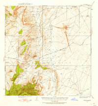
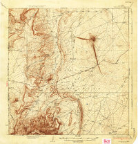
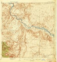
Other maps of this area

1889 · Chaco
USGS Topo · 1:250,000

1892 · Chaco
USGS Topo · 1:250,000

1892 · Canyon De Chelly
USGS Topo · 1:250,000
1934 · Ship Rock
USGS Topo · 1:62,500

1934 · Rattlesnake
USGS Topo · 1:62,500
1937 · Ship Rock
USGS Topo · 1:62,500
1937 · Rattlesnake
USGS Topo · 1:62,500
1953 · Redrock Valley NE
USGS Topo · 1:24,000
1953 · Pastora Peak SW
USGS Topo · 1:24,000
1953 · Pastora Peak NW
USGS Topo · 1:24,000