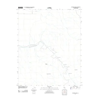
2012 Map of Pastoria Creek
USGS Topo · Published 2012About this map
The Governor Edmund G Brown California Aqueduct cuts a prominent path across this landscape, illustrating the massive scale of water infrastructure in modern California. As it nears the southern edge of the San Joaquin Valley, the water is managed by the Edmonston Pumping Plant Rd, a critical junction for moving resources through the Tehachapi Mountains. This 2012 survey shows the intricate network of water transport and drainage, including Tunis Cr and Pastoria Cr, which drain the northern slopes of the range.
Find a feature on this map
14 named features on this map. Tap any name to fly to it.
Don’t see what you’re looking for? This feature index may not catch every label — zoom into the map to look around manually.
Map Details
Editions of this 2012 Pastoria Creek Map
This is the sole edition of this map. No revisions or reprints were ever made.
Other maps of this area

1903 · Tejon
USGS Topo · 1:125,000

1914 · Caliente
USGS Topo · 1:125,000

1931 · West of Tejon Hills
USGS Topo · 1:31,680

1931 · Tejon Hills
USGS Topo · 1:31,680

1933 · Tejon Hills
USGS Topo · 1:31,680
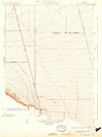
1934 · West of Tejon Hills
USGS Topo · 1:31,680

1942 · Tecuya Creek
USGS Topo · 1:24,000

1942 · Frazier Mountain
USGS Topo · 1:24,000

1943 · Cummings Mountain
USGS Topo · 1:62,500

1943 · Neenach
USGS Topo · 1:62,500