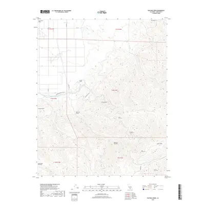
2018 Map of Pastoria Creek
USGS Topo · Published 2018About this map
The Governor Edmund G Brown-California Aqueduct cuts across the northern landscape of this Kern County survey, marking a significant piece of California's modern water infrastructure. This corridor serves as a transition point where the flat San Joaquin Valley floor meets the rising elevations of the Sierra Nevada and the Tehachapi Mountains. The map documents the engineering complex surrounding the movement of water, including the Edmonston Pumping Plant Rd and a series of numbered tunnels such as Tunnel Number One and Tunnel Number Two.
Find a feature on this map
31 named features on this map. Tap any name to fly to it.
Don’t see what you’re looking for? This feature index may not catch every label — zoom into the map to look around manually.
Map Details
Editions of this 2018 Pastoria Creek Map
This is the sole edition of this map. No revisions or reprints were ever made.
Other maps of this area

1903 · Tejon
USGS Topo · 1:125,000

1914 · Caliente
USGS Topo · 1:125,000

1931 · West of Tejon Hills
USGS Topo · 1:31,680

1931 · Tejon Hills
USGS Topo · 1:31,680

1933 · Tejon Hills
USGS Topo · 1:31,680
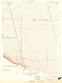
1934 · West of Tejon Hills
USGS Topo · 1:31,680

1942 · Tecuya Creek
USGS Topo · 1:24,000

1942 · Frazier Mountain
USGS Topo · 1:24,000

1943 · Cummings Mountain
USGS Topo · 1:62,500

1943 · Neenach
USGS Topo · 1:62,500