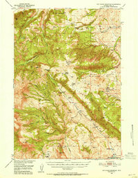
1949 Map of Pat O'Hara Mountain
USGS Topo · Published 1955About this map
Pat O'Hara Mountain and the surrounding high country of Park County are depicted here in a detailed postwar survey. The landscape is defined by the sharp descent from peaks like Pat O'Hara Peak down into the Pat O'Hara Basin, where a network of seasonal and permanent watercourses like Dry Fork Pat O'Hara Creek and Oxyoke Canyon Creek drain the slopes. The map captures a moment when traditional land use is visible through family-named holdings such as Cles Ranch, Rhodes Ranch, and Four Bear Ranch. Dramatic geological features, including the Rattlesnake Palisades and the Natural Corral, highlight the area's complex topography. Evidence of early tourism and wilderness access appears via Tourist Cabins and several remote structures like Pearson Cabin and Robbers Roost Cabin, while the presence of Buffalo Bill Reservoir in the southeast corner marks the impact of regional water management projects in the Missouri River Basin.
Find a feature on this map
46 named features on this map. Tap any name to fly to it.
Don’t see what you’re looking for? This feature index may not catch every label — zoom into the map to look around manually.
Map Details
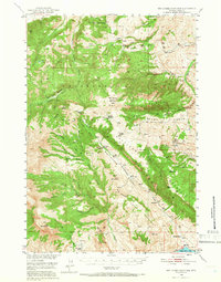
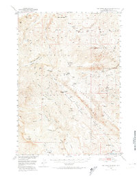
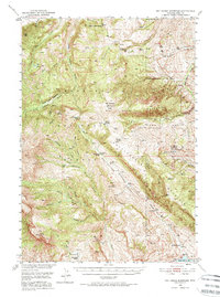
Editions of this 1949 Pat O'Hara Mountain Map
5 editions found
Other maps of this area

1893 · Ishawooa
USGS Topo · 1:125,000

1895 · Ishawooa
USGS Topo · 1:125,000

1896 · Crandall Creek
USGS Topo · 1:125,000

1899 · Crandall
USGS Topo · 1:125,000

1899 · Ishawooa
USGS Topo · 1:125,000

1949 · Pat O'Hara Mountain
USGS Topo · 1:62,500

1949 · Cody
USGS Topo · 1:62,500

1950 · Clark
USGS Topo · 1:62,500

1950 · Deep Lake
USGS Topo · 1:62,500

1951 · Cody
USGS Topo · 1:62,500