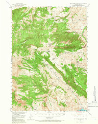
1949 Map of Pat O'Hara Mountain
USGS Topo · Published 1966About this map
Shoshone National Forest dominates this 1949 terrain survey, centered on the high divide between the North Fork Shoshone River and the Pat O'Hara Basin. The landscape is characterized by established cattle operations like Mooncrest Ranch, Cles Ranch, and Rhodes Ranch, alongside vestiges of earlier mountain habitation such as Pearson Cabin and the Robbers Roost Cabin. Topographic details reveal a network of high ridges including Rattlesnake Mountain and Logan Mountain, punctuated by prominent summits like Pat O'Hara Peak and Jim Mountain. The importance of water and seasonal grazing is evident in the numerous named springs, including Bear Springs and Spout Springs, and the way drainage systems like Dead Indian Creek and Trout Creek define the navigation of the backcountry. To the south, the map captures a portion of the Buffalo Bill Res, marking the transition toward the larger valley floor.
Find a feature on this map
45 named features on this map. Tap any name to fly to it.
Don’t see what you’re looking for? This feature index may not catch every label — zoom into the map to look around manually.
Map Details
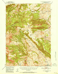
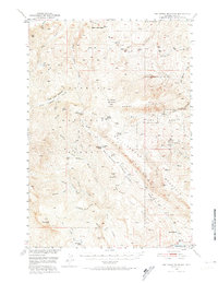
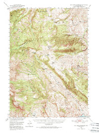
Editions of this 1949 Pat O'Hara Mountain Map
5 editions found
Other maps of this area

1893 · Ishawooa
USGS Topo · 1:125,000

1895 · Ishawooa
USGS Topo · 1:125,000

1896 · Crandall Creek
USGS Topo · 1:125,000

1899 · Crandall
USGS Topo · 1:125,000

1899 · Ishawooa
USGS Topo · 1:125,000

1949 · Pat O'Hara Mountain
USGS Topo · 1:62,500

1949 · Cody
USGS Topo · 1:62,500

1950 · Clark
USGS Topo · 1:62,500

1950 · Deep Lake
USGS Topo · 1:62,500

1951 · Cody
USGS Topo · 1:62,500