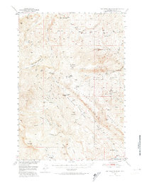
1949 Map of Pat O'Hara Mountain
USGS Topo · Published 1974About this map
Pat O'Hara Peak and the surrounding high country of the Shoshone National Forest dominate this mid-century landscape in northwest Wyoming. The area is defined by a series of high ridges and deep canyons, including the dramatic Rattlesnake Palisades and Dead Indian Pass. Settled life is represented by several isolated properties such as Mooncrest Ranch, Cles Ranch, and Rhodes Ranch, often located near the many tributaries of Pat O'Hara Creek. A striking network of mountain streams with evocative names like Laughing Water Creek, Singing Brook, and Dead Indian Creek highlights the remote nature of this wilderness. The map captures a transitional era for the region, noting an Aband Ranger Sta and the presence of Tourist Cabins near the edge of the Buffalo Bill Res, indicating the shift toward recreation and conservation in the post-war years.
Find a feature on this map
54 named features on this map. Tap any name to fly to it.
Don’t see what you’re looking for? This feature index may not catch every label — zoom into the map to look around manually.
Map Details
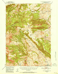
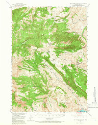
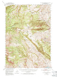
Editions of this 1949 Pat O'Hara Mountain Map
5 editions found
Other maps of this area

1893 · Ishawooa
USGS Topo · 1:125,000

1895 · Ishawooa
USGS Topo · 1:125,000

1896 · Crandall Creek
USGS Topo · 1:125,000

1899 · Crandall
USGS Topo · 1:125,000

1899 · Ishawooa
USGS Topo · 1:125,000

1949 · Pat O'Hara Mountain
USGS Topo · 1:62,500

1949 · Cody
USGS Topo · 1:62,500

1950 · Clark
USGS Topo · 1:62,500

1950 · Deep Lake
USGS Topo · 1:62,500

1951 · Cody
USGS Topo · 1:62,500