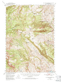
1949 Map of Pat O'Hara Mountain
USGS Topo · Published 1974About this map
Shoshone National Forest encompasses this high-altitude landscape in the late 1940s, where high peaks and deep drainage systems define the human footprint. The map reveals a network of high-country ranches and outposts, including Mooncrest Ranch, Cles Ranch, and Rhodes Ranch, often situated near water sources like Pat O'Hara Creek or the Buffalo Bill Reservoir area. Historic travel and habitation are evidenced by the Dead Indian Pass and various mountain shelters like Pearson Cabin and Robbers Roost Cabin.
Find a feature on this map
44 named features on this map. Tap any name to fly to it.
Don’t see what you’re looking for? This feature index may not catch every label — zoom into the map to look around manually.
Map Details
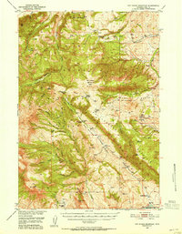
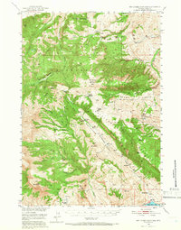
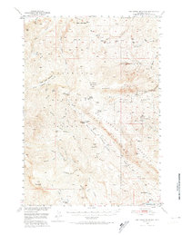
Editions of this 1949 Pat O'Hara Mountain Map
5 editions found
Other maps of this area

1893 · Ishawooa
USGS Topo · 1:125,000

1895 · Ishawooa
USGS Topo · 1:125,000

1896 · Crandall Creek
USGS Topo · 1:125,000

1899 · Crandall
USGS Topo · 1:125,000

1899 · Ishawooa
USGS Topo · 1:125,000

1949 · Pat O'Hara Mountain
USGS Topo · 1:62,500

1949 · Cody
USGS Topo · 1:62,500

1950 · Clark
USGS Topo · 1:62,500

1950 · Deep Lake
USGS Topo · 1:62,500

1951 · Cody
USGS Topo · 1:62,500