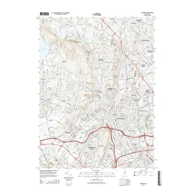
2014 Map of Paterson
USGS Topo · Published 2014About this map
The Passaic River anchors this detailed study of northeastern New Jersey, winding through the industrial and residential heart of Paterson and Totowa. The landscape is defined by the sharp transition from the dense urban grid of Riverside and Lake View to the elevated ridges of the Watchung Mountains. Higher elevations such as High Mtn and Preakness Mtn overlook a series of critical water resources, including the Haledon Reservoir and Point View Reservoir.
Find a feature on this map
75 named features on this map. Tap any name to fly to it.
Don’t see what you’re looking for? This feature index may not catch every label — zoom into the map to look around manually.
Map Details
Editions of this 2014 Paterson Map
This is the sole edition of this map. No revisions or reprints were ever made.
Other maps of this area

1888 · Morristown
USGS Topo · 1:62,500

1888 · Paterson
USGS Topo · 1:62,500

1891 · Greenwood Lake
USGS Topo · 1:62,500

1891 · Ramapo
USGS Topo · 1:62,500

1892 · Paterson
USGS Topo · 1:62,500

1893 · Greenwood Lake
USGS Topo · 1:62,500

1893 · Ramapo
USGS Topo · 1:62,500

1894 · Morristown
USGS Topo · 1:62,500

1898 · Morristown
USGS Topo · 1:62,500

1898 · Paterson
USGS Topo · 1:62,500