2024 Map of Patillas
USGS Topo · Published 2024About this map
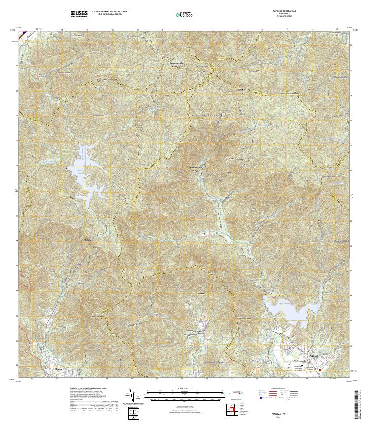
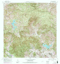
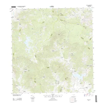
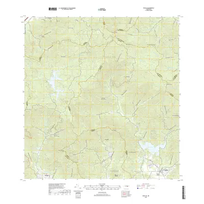
Patillas stands as the primary hub of this southeastern Puerto Rican landscape, where the southern coastal plains meet the towering peaks of the Sierra de Cayey. The area is defined by a dense network of mountain streams, including the Río Grande de Patillas and the Río de la Plata, which feed into major water bodies like Lago Carite. These valleys host several distinct communities and rural settlements, such as Yaurel, Olimpo, and El Chino, interconnected by the winding paths of roads like PR-184 and PR-179.
Find a feature on this map
91 named features on this map. Tap any name to fly to it.
Don’t see what you’re looking for? This feature index may not catch every label — zoom into the map to look around manually.
Map Details
Editions of this 2024 Patillas Map
This is the sole edition of this map. No revisions or reprints were ever made.
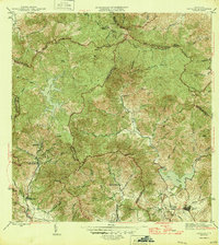
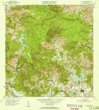
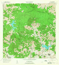
Historical Maps of Patillas Through Time
7 maps found
Featured Locations
- Villa Kike, San Lorenzo
- Sector Los Meléndez, Cayey
- Sector Conejo Blanco, Patillas
- Sector Hormiga, Patillas
- Patillas, Patillas