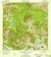
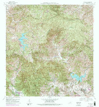
1952 Map of Patillas
USGS Topo · Published 1953About this map
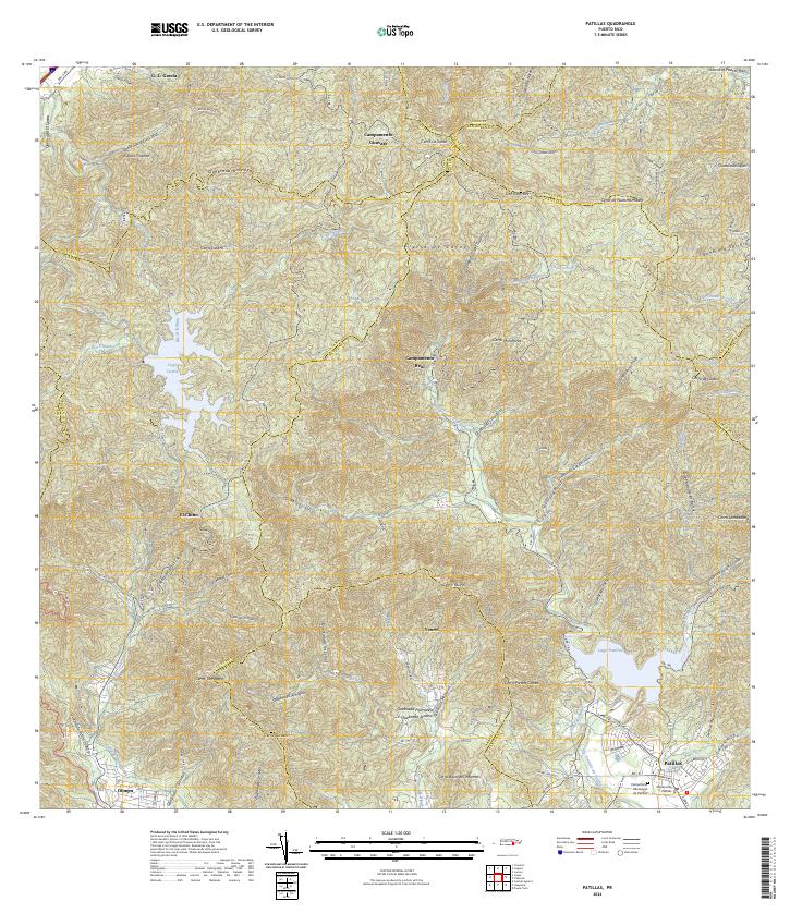
The industrial and agricultural landscape of southeastern Puerto Rico is anchored here by the waters of Lago Patillas and the northern Lago Carite. In the early 1950s, this region was a critical node for utility infrastructure, featuring the Planta Hidroelectrica de Carite No. 1 and Planta Hidroelectrica de Carite No. 3, which leveraged the dramatic elevation changes of the Sierra de Cayey. The settlement of Patillas sits at the southern edge of the mountains, surrounded by various barrios such as Cacao Bajo and Pollos. Educational sites are well-documented throughout the rural landscape, including the Escuela Segunda Unidad de Guamaní and the Escuela Segunda Unidad de Yaburel. The presence of Hacienda Felicita and numerous plantations suggests the enduring agricultural character of the valley floors, while the northern reaches include the high peaks of Cerro La Santa and Cerro Lucero within the Bosque Insular.
Find a feature on this map
78 named features on this map. Tap any name to fly to it.
Don’t see what you’re looking for? This feature index may not catch every label — zoom into the map to look around manually.
Map Details
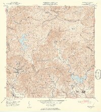
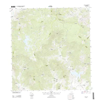
Editions of this 1952 Patillas Map
2 editions found
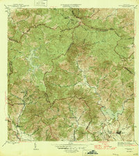
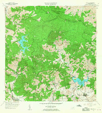
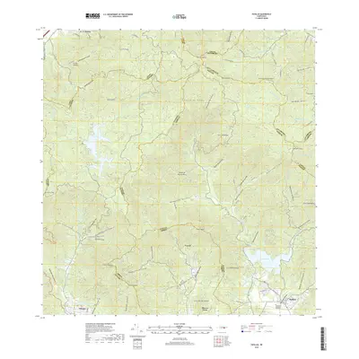
Historical Maps of Patillas Through Time
7 maps found
Featured Locations
- Villa Kike, San Lorenzo
- Sector Los Meléndez, Cayey
- Sector Conejo Blanco, Patillas
- Patillas, Patillas
- Villa Real, Patillas