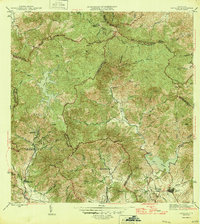
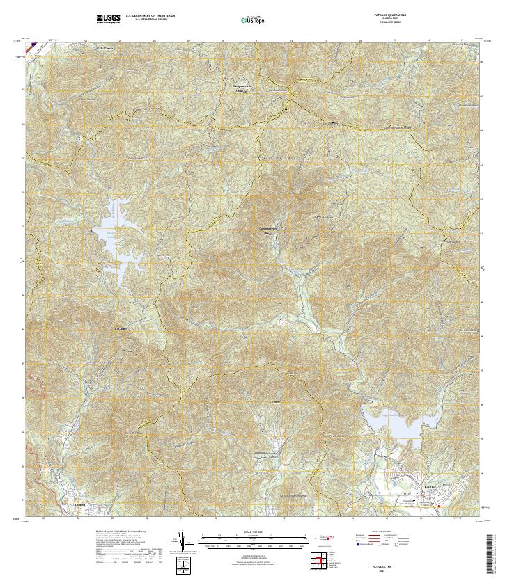
1946 Map of Patillas
USGS Topo · Published 1946About this map
Patillas serves as the primary urban hub in this 1940s landscape, situated where the southern coastal plains meet the rising peaks of the Sierra de Cayey. The region's mid-century focus on hydroelectric power and water management is evident in the presence of Lago Carite and Lago Patillas, connected by the winding course of the Rio Grande de Patillas. The infrastructure supporting this era includes the Planta Hidroelectrica de Carite No. 1 and Planta Hidroelectrica de Carite No. 2, marking the intersection of natural resources and industrial progress.
Find a feature on this map
50 named features on this map. Tap any name to fly to it.
Don’t see what you’re looking for? This feature index may not catch every label — zoom into the map to look around manually.
Map Details
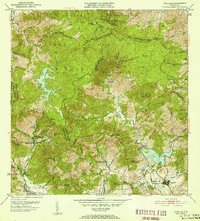
Editions of this 1946 Patillas Map
2 editions found

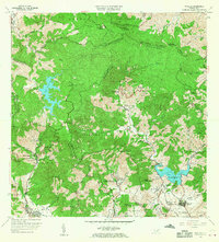
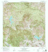
Historical Maps of Patillas Through Time
7 maps found
Featured Locations
- Villa Kike, San Lorenzo
- Sector Los Meléndez, Cayey
- Sector Conejo Blanco, Patillas
- Patillas, Patillas
- Villa Real, Patillas