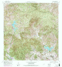
1960 Map of Patillas
USGS Topo · Published 1962About this map
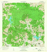
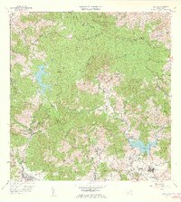
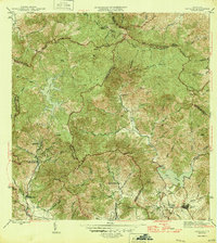
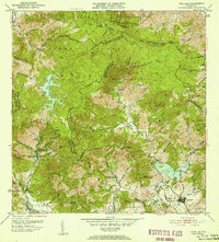
The interior highlands of southeast Puerto Rico appear in detail on this 1960 revision, where the Commonwealth Department of Public Works and Secretary Francisco Lizardi collaborated with federal agencies to map the complex terrain. The map documents mid-century developments in the mountains, including established sites such as Campamento Guavate and Campamento Real. These facilities reflect the era's institutional expansion into the rural cordillera, positioned along the winding routes that navigate the steep elevations between the coastal plains and the northern municipalities. The settlement patterns shown here are defined by small mountain clusters and specialized camps, providing a clear record of land use and government presence in the region before the large-scale infrastructure changes of the late 20th century.
Find a feature on this map
2 named features on this map. Tap any name to fly to it.
Don’t see what you’re looking for? This feature index may not catch every label — zoom into the map to look around manually.
Map Details
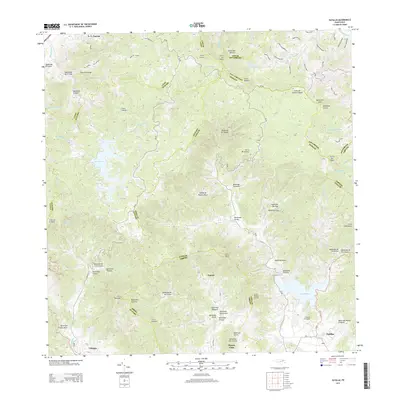
Editions of this 1960 Patillas Map
2 editions found
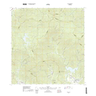
Historical Maps of Patillas Through Time
7 maps found
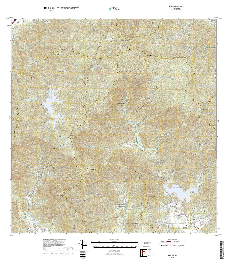
Featured Locations
- Villa Kike, San Lorenzo
- Sector Los Meléndez, Cayey
- Sector Conejo Blanco, Patillas
- Patillas, Patillas
- Villa Real, Patillas