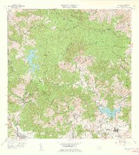
1960 Map of Patillas
USGS Topo · Published 1962About this map
The mountain peaks of the Sierra de Cayey dominate this landscape, where the headwaters of the Rio Grande de Patillas and Rio de la Plata originate. In the early 1960s, the region demonstrates a transition from traditional agricultural estates like Hacienda Felicita toward industrial utility, evidenced by the Central Hidroeléctrica de Carite Núm 1 and its sister plant. Two significant reservoirs, Lago Carite and Lago Patillas, serve as anchors for local water management and hydroelectric power.
Find a feature on this map
92 named features on this map. Tap any name to fly to it.
Don’t see what you’re looking for? This feature index may not catch every label — zoom into the map to look around manually.
Map Details
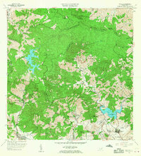
Editions of this 1960 Patillas Map
2 editions found
Other maps of this area

1945 · Punta Tuna
USGS Topo · 1:30,000

1945 · Central Aguirre
USGS Topo · 1:30,000

1946 · Patillas
USGS Topo · 1:30,000

1946 · Cayey
USGS Topo · 1:30,000

1946 · Comerio
USGS Topo · 1:30,000

1946 · Juncos
USGS Topo · 1:30,000

1946 · Yabucoa
USGS Topo · 1:30,000

1946 · Guayama
USGS Topo · 1:30,000

1946 · Caguas
USGS Topo · 1:30,000

1947 · Yabucoa SO
USGS Topo · 1:10,000