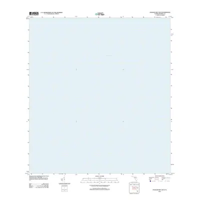
2012 Map of Pavilion Key OE W
USGS Topo · Published 2012About this map
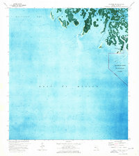
The Gulf of Mexico dominates this entire quadrangle off the coast of Monroe County, Florida. Situated southwest of Chokoloskee, this maritime chart focuses on the open waters of the Gulf, capturing the nautical character of the region during the early twenty-first century. Produced by the U.S. Geological Survey in 2012, the map serves as a clean topographic record of the marine environment between the outer keys and the deeper waters of the Gulf.
Find a feature on this map
1 named feature on this map. Tap any name to fly to it.
Don’t see what you’re looking for? This feature index may not catch every label — zoom into the map to look around manually.
Map Details
Editions of this 2012 Pavilion Key OE W Map
This is the sole edition of this map. No revisions or reprints were ever made.
Other maps of this area

1956 · Miami
USGS Topo · 1:250,000

1958 · Miami
USGS Topo · 1:250,000

1973 · Pavilion Key
USGS Topo · 1:24,000
1973 · Plover Key
USGS Topo · 1:24,000
1974 · Everglades City
USGS Topo · 1:24,000
1974 · Chokoloskee
USGS Topo · 1:24,000
1974 · Panther Key
USGS Topo · 1:24,000

1982 · Everglades City
USGS Topo · 1:100,000

1988 · Miami
USGS Topo · 1:250,000
2012 · Everglades City
USGS Topo · 1:24,000