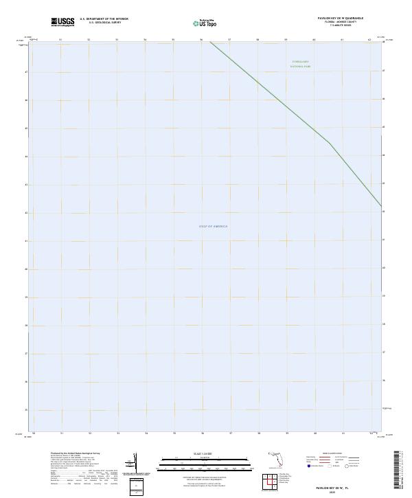
2025 Map of Pavilion Key OE W
USGS Topo · Published 2025About this map
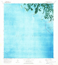
Everglades National Park occupies the northeastern corner of this 2025 survey, representing a significant coastal wilderness area in Monroe County. The vast majority of the map depicts the open waters of the Gulf of America, emphasizing the remote marine environment of this southwestern Florida region. The lack of terrestrial features or human development highlights the preserved nature of the park boundary, which cuts a straight line across the upper right portion of the sheet. This map serves as a contemporary record of the shifting coastal interface where protected federal lands meet the open gulf.
Find a feature on this map
2 named features on this map. Tap any name to fly to it.
Don’t see what you’re looking for? This feature index may not catch every label — zoom into the map to look around manually.
Map Details
Editions of this 2025 Pavilion Key OE W Map
This is the sole edition of this map. No revisions or reprints were ever made.
Other maps of this area

1956 · Miami
USGS Topo · 1:250,000

1958 · Miami
USGS Topo · 1:250,000

1973 · Pavilion Key
USGS Topo · 1:24,000
1973 · Plover Key
USGS Topo · 1:24,000
1974 · Everglades City
USGS Topo · 1:24,000
1974 · Chokoloskee
USGS Topo · 1:24,000
1974 · Panther Key
USGS Topo · 1:24,000

1982 · Everglades City
USGS Topo · 1:100,000

1988 · Miami
USGS Topo · 1:250,000
2012 · Everglades City
USGS Topo · 1:24,000