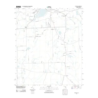
2012 Map of Paxton
USGS Topo · Published 2012About this map
Britton Hill stands as a prominent geographical marker in this borderland region between Florida and Alabama. The landscape is defined by its numerous water bodies, ranging from the expansive Lake Jackson in the north to smaller, sequestered basins like Quiet Lake and J M Wise Pond. Small rural communities such as Clear Springs, Flowersville, and Pleasant Grove are scattered across the terrain, connected by a network of local roads and state highways. Aviation history is represented by the Ellis Agricultural Field Airport, reflecting the area's agricultural ties. For genealogists and local historians, the presence of Greenwood Cem near the northern border and Miller Cem further south provides essential points for tracing family lineages in this quiet corner of Covington County.
Find a feature on this map
85 named features on this map. Tap any name to fly to it.
Don’t see what you’re looking for? This feature index may not catch every label — zoom into the map to look around manually.
Map Details
Editions of this 2012 Paxton Map
This is the sole edition of this map. No revisions or reprints were ever made.
Other maps of this area

1949 · Glendale
USGS Topo · 1:62,500

1949 · Laurel Hill
USGS Topo · 1:62,500

1950 · Laurel Hill
USGS Topo · 1:62,500

1951 · Glendale
USGS Topo · 1:62,500

1953 · Andalusia
USGS Topo · 1:250,000

1957 · Andalusia
USGS Topo · 1:250,000

1957 · Pensacola
USGS Topo · 1:250,000

1959 · Pensacola
USGS Topo · 1:250,000

1960 · Pensacola
USGS Topo · 1:250,000
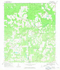
1969 · Hacoda
USGS Topo · 1:24,000