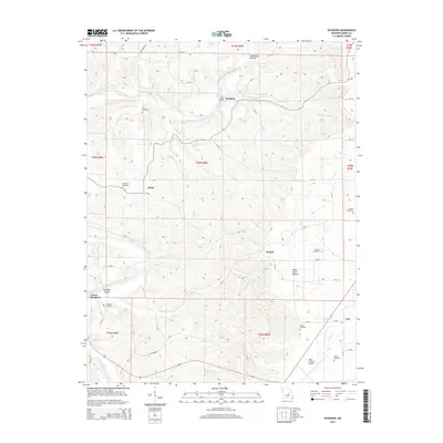
2015 Map of Paydown
USGS Topo · Published 2015About this map
The Gasconade River winds through the northern portion of this Maries County landscape, carving a deep valley that includes the Tie Slide and the sheltered Paradise Valley. This 2015 survey reveals a terrain defined by its water sources, from the steady flow of Paydown Springs and Given Spring to the numerous creeks like Cedar Cr and Dry Fork that drain the central highlands. Small rural settlements including Paydown, Lindell, and Lois are connected by a network of county roads, while the southern edge of the map transition to the more modern infrastructure of the Rolla National Airport. Genealogists will find a wealth of local burial sites scattered across the ridges, such as Union Hill Cemetery, Johnson Cemetery, and Snodgrass Cemetery. Of particular archaeological interest are the Indian House Mounds located near the center of the sheet.
Find a feature on this map
57 named features on this map. Tap any name to fly to it.
Don’t see what you’re looking for? This feature index may not catch every label — zoom into the map to look around manually.
Map Details
Editions of this 2015 Paydown Map
This is the sole edition of this map. No revisions or reprints were ever made.
Other maps of this area

1934 · Linn
USGS Topo · 1:48,000

1934 · Bland
USGS Topo · 1:62,500

1934 · Redbird
USGS Topo · 1:62,500

1937 · Bland
USGS Topo · 1:62,500

1937 · Vienna
USGS Topo · 1:62,500

1938 · Redbird
USGS Topo · 1:62,500

1938 · Vienna
USGS Topo · 1:48,000

1942 · Linn
USGS Topo · 1:62,500

1945 · Linn
USGS Topo · 1:62,500

1949 · Saint Louis
USGS Topo · 1:250,000