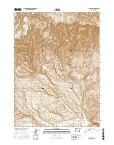
2017 Map of Payne Creek
USGS Topo · Published 2017About this map
The Oregon Canyon Mountains dominate this high-desert landscape in Malheur County, where a complex network of canyons and drainages defines the local topography. Water management is a central theme, evidenced by numerous catchment features including Fifteenmile Reservoir, W Cherokee Reservoir, and the McDermitt Cr Reservoir at the southern edge. The map also documents several natural water sources such as Gopher Spring, Mahogany Spring, and Rose Spring Number 2.
Find a feature on this map
80 named features on this map. Tap any name to fly to it.
Don’t see what you’re looking for? This feature index may not catch every label — zoom into the map to look around manually.
Map Details
Editions of this 2017 Payne Creek Map
This is the sole edition of this map. No revisions or reprints were ever made.
Other maps of this area

1882 · Paradise
USGS Topo · 1:250,000

1886 · Disaster
USGS Topo · 1:250,000

1893 · Paradise
USGS Topo · 1:250,000

1893 · Disaster
USGS Topo · 1:250,000

1954 · Vya
USGS Topo · 1:250,000

1955 · McDermitt
USGS Topo · 1:250,000

1955 · Jordan Valley
USGS Topo · 1:250,000

1955 · Adel
USGS Topo · 1:250,000

1957 · Adel
USGS Topo · 1:250,000

1957 · Jordan Valley
USGS Topo · 1:250,000