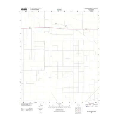
2012 Map of Paynes Corner NW
USGS Topo · Published 2012About this map
Hamilton Aircraft, Inc Airport serves as a prominent landmark in this section of Gaines County, situated just north of the shared corridor for U.S. Routes 62 and 180. The landscape is characterized by a sprawling grid of roads and land divisions typical of the Texas South Plains, where agricultural development and industrial activity often follow the rigid lines of the rectangular survey system. Cutting across this orderly layout is Johnson Draw, a natural ephemeral drainage feature that provides a sharp contrast to the straight-line human development. The path of the draw suggests the historic drainage patterns of this high plains region, and the proximity of the airfield to the highway emphasizes the importance of transportation infrastructure in this part of the state during the early 21st century.
Find a feature on this map
3 named features on this map. Tap any name to fly to it.
Don’t see what you’re looking for? This feature index may not catch every label — zoom into the map to look around manually.
Map Details
Editions of this 2012 Paynes Corner NW Map
This is the sole edition of this map. No revisions or reprints were ever made.
Other maps of this area

1954 · Hobbs
USGS Topo · 1:250,000

1958 · Hobbs
USGS Topo · 1:250,000

1969 · Hobbs East
USGS Topo · 1:24,000

1969 · Hobbs SE
USGS Topo · 1:24,000

1969 · Humble City SE
USGS Topo · 1:24,000

1970 · Humble City SE
USGS Topo · 1:24,000

1971 · Paynes Corner
USGS Topo · 1:24,000

1971 · Brinson Ranch
USGS Topo · 1:24,000

1971 · Paynes Corner SE
USGS Topo · 1:24,000

1971 · Denver City SW
USGS Topo · 1:24,000