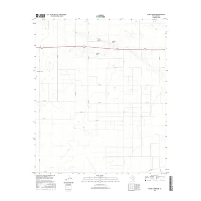
2016 Map of Paynes Corner NW
USGS Topo · Published 2016About this map
The High Plains landscape of Gaines County is defined by its subtle drainage patterns and a strictly organized grid of rural roads. Two primary ephemeral watercourses, Seminole Draw and Johnson Draw, cut across the northern portion of the map, providing the only major topographic variation in this arid region. The local economy and transportation network are anchored by 62 180, a critical thoroughfare connecting this corner of the state to larger regional hubs.
Find a feature on this map
20 named features on this map. Tap any name to fly to it.
Don’t see what you’re looking for? This feature index may not catch every label — zoom into the map to look around manually.
Map Details
Editions of this 2016 Paynes Corner NW Map
This is the sole edition of this map. No revisions or reprints were ever made.
Other maps of this area

1954 · Hobbs
USGS Topo · 1:250,000

1958 · Hobbs
USGS Topo · 1:250,000

1969 · Hobbs East
USGS Topo · 1:24,000

1969 · Hobbs SE
USGS Topo · 1:24,000

1969 · Humble City SE
USGS Topo · 1:24,000

1970 · Humble City SE
USGS Topo · 1:24,000

1971 · Paynes Corner
USGS Topo · 1:24,000

1971 · Brinson Ranch
USGS Topo · 1:24,000

1971 · Paynes Corner SE
USGS Topo · 1:24,000

1971 · Denver City SW
USGS Topo · 1:24,000