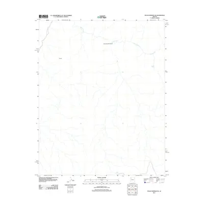
2011 Map of Peach Springs NE
USGS Topo · Published 2011About this map
Diamond Creek winds through this arid landscape, carving its way toward the northwestern corner of the quadrangle. The map highlights a network of ephemeral drainages and remote water sources, including the isolated Diamond Spring and the artificial Metuck Tank in the south. The terrain is defined by dramatic elevation changes and named landforms like the Thumb and the depths of Blue Mountain Canyon. This 2011 survey serves as a modern baseline for understanding the hydrologic patterns and topography of the high desert before significant modern development altered the land. The presence of Peach Springs Wash in the northwest indicates the historical corridors used for natural drainage in this part of Mohave County.
Find a feature on this map
6 named features on this map. Tap any name to fly to it.
Don’t see what you’re looking for? This feature index may not catch every label — zoom into the map to look around manually.
Map Details
Editions of this 2011 Peach Springs NE Map
This is the sole edition of this map. No revisions or reprints were ever made.
Other maps of this area

1886 · Diamond Creek
USGS Topo · 1:250,000

1892 · Diamond Creek
USGS Topo · 1:250,000

1948 · Williams
USGS Topo · 1:250,000

1954 · Williams
USGS Topo · 1:250,000

1956 · Williams
USGS Topo · 1:250,000

1960 · Williams
USGS Topo · 1:250,000

1961 · Williams
USGS Topo · 1:250,000

1967 · Peach Springs
USGS Topo · 1:24,000
1967 · Travertine Rapids
USGS Topo · 1:24,000
1967 · Peach Springs Canyon
USGS Topo · 1:24,000