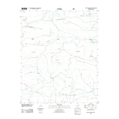
2011 Map of Peanut Mountain
USGS Topo · Published 2011About this map
Peanut Mountain and the surrounding heights of Brushy Mountain and Rowdy Mountain define this corner of Scott County, where the high ridges separate the drainages of the Fourche LaFave River to the south from the Poteau River Site 17 Lake and Ross Creek to the north. These watersheds are managed by a series of flood control structures, including Poteau River Watershed Site 14 Dam and Poteau River Watershed Site 18 Dam.
Find a feature on this map
63 named features on this map. Tap any name to fly to it.
Don’t see what you’re looking for? This feature index may not catch every label — zoom into the map to look around manually.
Map Details
Editions of this 2011 Peanut Mountain Map
This is the sole edition of this map. No revisions or reprints were ever made.
Other maps of this area

1879 · Poteau Mountain
USGS Topo · 1:62,500

1887 · Poteau Mountain #1
USGS Topo · 1:62,500

1887 · Poteau Mountain #2
USGS Topo · 1:62,500

1890 · Poteau Mountain
USGS Topo · 1:125,000

1899 · Poteau Mountain
USGS Topo · 1:125,000

1939 · Waldron
USGS Topo · 1:62,500

1940 · Waldron
USGS Topo · 1:62,500

1941 · Waldron
USGS Topo · 1:62,500

1949 · Waldron
USGS Topo · 1:62,500

1950 · Mcalester
USGS Topo · 1:250,000