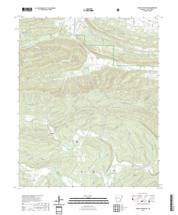
2024 Map of Peanut Mountain
USGS Topo · Published 2024About this map
The Ouachita National Forest dominates this section of Scott County, where the terrain transitions from the high ridges of Ross Mtn and Peanut Mtn into the fertile valleys of the Fourche La Fave River and the Black Fork. This landscape is defined by its small, scattered rural settlements such as Blansett, Nella, and Ritz, which represent the enduring upland community structure of the region. The network of forest roads and ways, including Boles Motor Way and Nella Rd, illustrates the complex infrastructure required to manage these timberlands.
Find a feature on this map
79 named features on this map. Tap any name to fly to it.
Don’t see what you’re looking for? This feature index may not catch every label — zoom into the map to look around manually.
Map Details
Editions of this 2024 Peanut Mountain Map
This is the sole edition of this map. No revisions or reprints were ever made.
Other maps of this area

1879 · Poteau Mountain
USGS Topo · 1:62,500

1887 · Poteau Mountain #1
USGS Topo · 1:62,500

1887 · Poteau Mountain #2
USGS Topo · 1:62,500

1890 · Poteau Mountain
USGS Topo · 1:125,000

1899 · Poteau Mountain
USGS Topo · 1:125,000

1939 · Waldron
USGS Topo · 1:62,500

1940 · Waldron
USGS Topo · 1:62,500

1941 · Waldron
USGS Topo · 1:62,500

1949 · Waldron
USGS Topo · 1:62,500

1950 · Mcalester
USGS Topo · 1:250,000