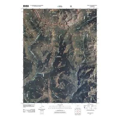
2011 Map of Pearl Pass
USGS Topo · Published 2011About this map
Pearl Pass serves as a critical high-altitude corridor in this 2011 survey, linking the watersheds of Middle Brush Creek and Cooper Creek. The landscape is defined by its industrial history, with numerous mining operations situated at extreme elevations. Notable extractions include the Arrowhead Mine near the Cumberland Basin and the Twenty-Percent Creek Mine located along the upper reaches of the Taylor River. These sites, along with the Climax Mine and Italian Mountain Mine, indicate a legacy of mineral prospecting in this demanding environment.
Find a feature on this map
44 named features on this map. Tap any name to fly to it.
Don’t see what you’re looking for? This feature index may not catch every label — zoom into the map to look around manually.
Map Details
Editions of this 2011 Pearl Pass Map
This is the sole edition of this map. No revisions or reprints were ever made.
Other maps of this area

1888 · Crested Butte
USGS Topo · 1:62,500

1889 · Crested Butte
USGS Topo · 1:62,500

1893 · Crested Butte
USGS Topo · 1:62,500

1893 · Aspen
USGS Topo · 1:62,500

1895 · Aspen
USGS Topo · 1:62,500

1909 · Mount Jackson
USGS Topo · 1:125,000

1911 · Mount Jackson
USGS Topo · 1:125,000

1934 · Taylor Park
USGS Topo · 1:62,500

1937 · Taylor Park
USGS Topo · 1:62,500

1956 · Montrose
USGS Topo · 1:250,000