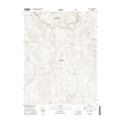
2016 Map of Pearl Pass
USGS Topo · Published 2016About this map
The high alpine Divide between Pitkin and Gunnison counties is defined by the soaring summits of the Elk Mountains, where Pearl Pass provides a historic crossing point between these two high-altitude regions. This survey illustrates an intricate network of primitive roads and paths used for recreation and resource access, including the Brush Creek Jeep Trail and the Cumberland Basin Trail. The landscape is dominated by 13,000-foot summits like Taylor Peak, Star Peak, and Greg Mace Peak, which oversee the headwaters of the Taylor River and various forks of Brush Creek. Managed under the jurisdictions of the White River National Forest and Gunnison National Forest, the area maintains the character of a wilderness frontier. Topographic detail reveals the transition from glacial cirques like Cumberland Basin and Eyre Basin to the prominent rocky spines of Teocalli Ridge and Double Top.
Find a feature on this map
54 named features on this map. Tap any name to fly to it.
Don’t see what you’re looking for? This feature index may not catch every label — zoom into the map to look around manually.
Map Details
Editions of this 2016 Pearl Pass Map
This is the sole edition of this map. No revisions or reprints were ever made.
Other maps of this area

1888 · Crested Butte
USGS Topo · 1:62,500

1889 · Crested Butte
USGS Topo · 1:62,500

1893 · Crested Butte
USGS Topo · 1:62,500

1893 · Aspen
USGS Topo · 1:62,500

1895 · Aspen
USGS Topo · 1:62,500

1909 · Mount Jackson
USGS Topo · 1:125,000

1911 · Mount Jackson
USGS Topo · 1:125,000

1934 · Taylor Park
USGS Topo · 1:62,500

1937 · Taylor Park
USGS Topo · 1:62,500

1956 · Montrose
USGS Topo · 1:250,000