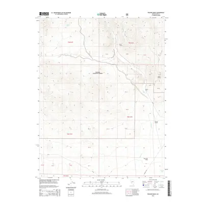
2014 Map of Peavine Ranch
USGS Topo · Published 2014About this map
Peavine Ranch serves as a primary point of human settlement within this high-elevation landscape of Nye County. The terrain is characterized by the deep incisions of Peavine Canyon, Horse Canyon, and Wood Canyon, which cut through the protected lands of the Toiyabe National Forest. Water sources are critical in this environment, with Seyler Spring and Mustang Spring providing essential resources away from the drainage of Peavine Cr. At the southern edge of the survey, the land descends toward the Big Smoky Valley. This modern data collection highlights a network of forest roads and historical paths, most notably the Fremont Route, which traces the lower elevations and suggests the enduring importance of established trails for navigating this complex topography.
Find a feature on this map
31 named features on this map. Tap any name to fly to it.
Don’t see what you’re looking for? This feature index may not catch every label — zoom into the map to look around manually.
Map Details
Editions of this 2014 Peavine Ranch Map
This is the sole edition of this map. No revisions or reprints were ever made.
Other maps of this area

1907 · Tonopah
USGS Topo · 1:250,000

1908 · Tonopah
USGS Topo · 1:250,000

1956 · Tonopah
USGS Topo · 1:250,000

1959 · Tonopah
USGS Topo · 1:250,000

1962 · Tonopah
USGS Topo · 1:250,000

1963 · Baxter Spring
USGS Topo · 1:62,500

1964 · San Antonio Ranch
USGS Topo · 1:62,500

1971 · Seyler Peak
USGS Topo · 1:24,000

1971 · Pablo Canyon Ranch
USGS Topo · 1:24,000

1980 · Secret Basin
USGS Topo · 1:24,000