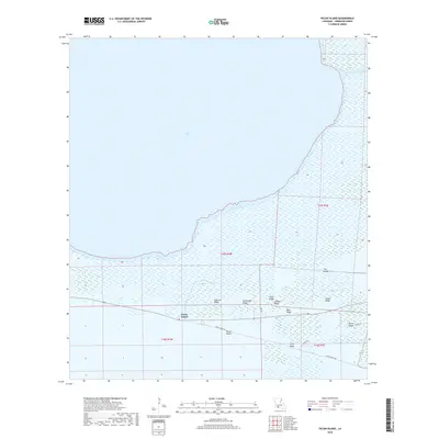
2018 Map of Pecan Island
USGS Topo · Published 2018About this map
Pecan Island is a distinctive chenier plain community in Vermilion Parish, where habitable land is defined by elevated ridges amidst expansive coastal wetlands. This 2018 survey documents the geography of these ridges, including Front Ridge and Back Ridge, which provide the foundation for local settlements and the primary transit corridor of Front Ridge Rd. These narrow strips of higher ground are geological remnants of ancient shorelines, contrasting sharply with the surrounding marsh and the southern reaches of White Lake.
Find a feature on this map
20 named features on this map. Tap any name to fly to it.
Don’t see what you’re looking for? This feature index may not catch every label — zoom into the map to look around manually.
Map Details
Editions of this 2018 Pecan Island Map
This is the sole edition of this map. No revisions or reprints were ever made.
Other maps of this area

1932 · Constance Bayou NE
USGS Topo · 1:31,680

1932 · Pecan Island SE
USGS Topo · 1:31,680

1932 · Pecan Island SW
USGS Topo · 1:31,680

1932 · Constance Bayou SE
USGS Topo · 1:31,680

1945 · Pecan Island NW
USGS Topo · 1:31,680

1945 · Pecan Island NE
USGS Topo · 1:31,680

1946 · Schooner Bayou SE
USGS Topo · 1:31,680

1946 · Schooner Bayou SW
USGS Topo · 1:31,680

1951 · Pecan Island
USGS Topo · 1:62,500

1953 · Jacks Point Island
USGS Topo · 1:24,000