
1932 Map of Pecan Island SW
USGS Topo · Published 1932About this map
Pirogue Trail segments cut through the vast coastal wetlands of southern Vermilion Parish in this 1932 field-examined study. Compiled by the U.S. Geological Survey using early aerial photography from the Army Air Corps, the map captures a landscape defined by water and marsh grass long before modern coastal erosion and infrastructure altered the shoreline. The transition from the inland marsh to the Gulf of Mexico is marked by the narrow ridge of Mulberry Island, a solitary named terrain feature in an otherwise fluid environment. These trails and island names represent the traditional geography used by locals to navigate the complex deltaic system of the era, providing a rare look at the Louisiana coast during the early 20th century.
Find a feature on this map
3 named features on this map. Tap any name to fly to it.
Don’t see what you’re looking for? This feature index may not catch every label — zoom into the map to look around manually.
Map Details
Editions of this 1932 Pecan Island SW Map
This is the sole edition of this map. No revisions or reprints were ever made.
Other maps of this area

1932 · Constance Bayou NE
USGS Topo · 1:31,680

1932 · Pecan Island SE
USGS Topo · 1:31,680

1932 · Constance Bayou SE
USGS Topo · 1:31,680

1945 · Pecan Island NW
USGS Topo · 1:31,680

1945 · Pecan Island NE
USGS Topo · 1:31,680

1951 · Pecan Island
USGS Topo · 1:62,500
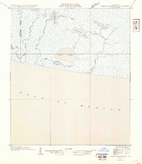
1954 · Constance Bayou SE
USGS Topo · 1:31,680
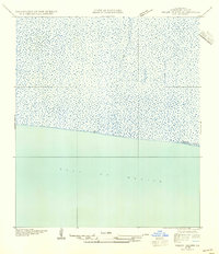
1954 · Pecan Island SW
USGS Topo · 1:31,680
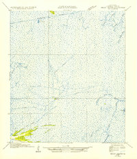
1954 · Pecan Island NE
USGS Topo · 1:31,680

1954 · Port Arthur
USGS Topo · 1:250,000