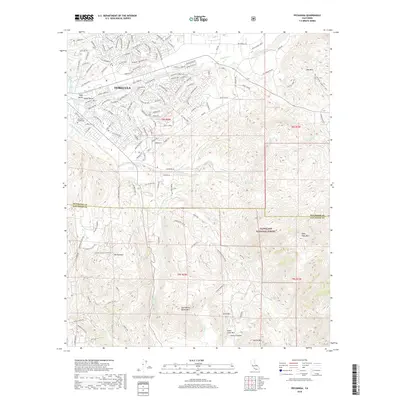
2018 Map of Pechanga
USGS Topo · Published 2018About this map
Temecula occupies the northern reaches of this survey, where the developing street grids of Wolf Valley and Pauba Valley meet the rising foothills of the Peninsular Ranges. The map documents a complex landscape of suburban expansion and protected wilderness, with the southern portion dominated by the Cleveland National Forest. Along the banks of Pechanga Creek, the terrain transitions from residential neighborhoods to the thermal features of Pechanga Hot Springs. Significant peaks like Tourmaline Queen Mtn and Agua Tibia Mtn define the southern horizon, while the infrastructure of the Second San Diego Aqueduct underscores the region's managed water resources. Local heritage is specifically noted by the Louis Wolf Tombstone, a lone landmark in the northwest that provides a direct link to the area's 19th-century settlement history.
Find a feature on this map
147 named features on this map. Tap any name to fly to it.
Don’t see what you’re looking for? This feature index may not catch every label — zoom into the map to look around manually.
Map Details
Editions of this 2018 Pechanga Map
This is the sole edition of this map. No revisions or reprints were ever made.
Other maps of this area

1901 · Southern California Sheet No. 1
USGS Topo · 1:250,000

1901 · San Jacinto
USGS Topo · 1:125,000

1901 · Elsinore
USGS Topo · 1:125,000

1901 · San Luis Rey
USGS Topo · 1:125,000

1903 · Ramona
USGS Topo · 1:125,000

1904 · Southern California Sheet No. 2
USGS Topo · 1:250,000

1904 · Southern California Sheet No. 1
USGS Topo · 1:250,000

1939 · Palomar Mountain
USGS Topo · 1:62,500

1942 · Temecula
USGS Topo · 1:62,500

1942 · Hemet
USGS Topo · 1:62,500