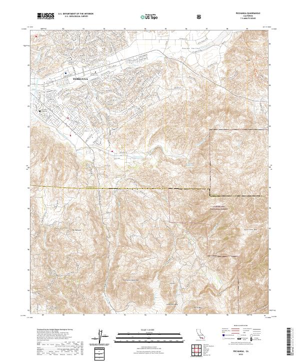
2022 Map of Pechanga
USGS Topo · Published 2022About this map
Temecula serves as the focal point of this Southern California landscape, where the valley floor meets the steep ascent of the Cleveland National Forest. The map documents a complex intersection of natural features and local heritage, notably preserving the site of the Temecula Massacre Cem and the nearby Louis Wolf Tombstone. These landmarks provide a solemn connection to the region's 19th-century history. The terrain is defined by dramatic elevation changes, from the broad Pauba Valley and Wolf Valley to prominent peaks like Oak Mtn, Tourmaline Queen Mtn, and Agua Tibia Mtn. Water management infrastructure is visible through the San Diego Aqueduct and Second San Diego Aqueduct, which cut across the landscape near Temecula Cr and Pechanga Cr. Educational and recreational interests are represented by the California State University San Marcos campus and the geothermal site at Pechanga Hot Springs.
Find a feature on this map
134 named features on this map. Tap any name to fly to it.
Don’t see what you’re looking for? This feature index may not catch every label — zoom into the map to look around manually.
Map Details
Editions of this 2022 Pechanga Map
This is the sole edition of this map. No revisions or reprints were ever made.
Other maps of this area

1901 · Southern California Sheet No. 1
USGS Topo · 1:250,000

1901 · San Jacinto
USGS Topo · 1:125,000

1901 · Elsinore
USGS Topo · 1:125,000

1901 · San Luis Rey
USGS Topo · 1:125,000

1903 · Ramona
USGS Topo · 1:125,000

1904 · Southern California Sheet No. 2
USGS Topo · 1:250,000

1904 · Southern California Sheet No. 1
USGS Topo · 1:250,000

1939 · Palomar Mountain
USGS Topo · 1:62,500

1942 · Temecula
USGS Topo · 1:62,500

1942 · Hemet
USGS Topo · 1:62,500