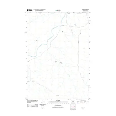
2012 Map of Pedro
USGS Topo · Published 2012About this map
The Cheyenne River snakes through this high-plains landscape, cutting a path through the various draws and plateaus of Pennington County. This 2012 depiction of the Pedro area reveals a region defined by extensive ranching operations, with family-named landholdings like the McIlraby Ranch, Bastian Ranch, and White Ranch situated near the riverbanks and seasonal creek beds. The settlement pattern here is sparse, relying on a network of unpaved corridors such as Creighton Rd and Pedro Rd to connect these remote outposts.
Find a feature on this map
26 named features on this map. Tap any name to fly to it.
Don’t see what you’re looking for? This feature index may not catch every label — zoom into the map to look around manually.
Map Details
Editions of this 2012 Pedro Map
This is the sole edition of this map. No revisions or reprints were ever made.
Other maps of this area

1953 · Rapid City
USGS Topo · 1:250,000

1954 · Pierre
USGS Topo · 1:250,000

1955 · Bridger
USGS Topo · 1:24,000

1955 · Pedro
USGS Topo · 1:24,000

1955 · Pedro NW
USGS Topo · 1:24,000

1955 · Creighton
USGS Topo · 1:24,000

1955 · Howes
USGS Topo · 1:24,000

1955 · Pedro SE
USGS Topo · 1:24,000

1955 · Hilland NW
USGS Topo · 1:24,000

1957 · Rapid City
USGS Topo · 1:250,000