
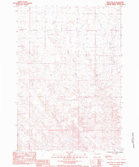
1955 Map of Pedro NW
USGS Topo · Published 1956About this map
The Cheyenne River carves a deep valley through this mid-century landscape on the border of Meade Co and Pennington Co. The upland plateaus, such as Davidson Flat, are characterized by a network of drainage channels like Tepee Draw and Chapman Draw. Settlement is sparse and largely organized around established family homesteads, reflecting the ranching culture of western South Dakota. Community life centers on the St Patricks Ch and the Timber Creek Sch located in the northern sections of the map.
Find a feature on this map
27 named features on this map. Tap any name to fly to it.
Don’t see what you’re looking for? This feature index may not catch every label — zoom into the map to look around manually.
Map Details
Editions of this 1955 Pedro NW Map
This is the sole edition of this map. No revisions or reprints were ever made.
Other maps of this area

1953 · Rapid City
USGS Topo · 1:250,000

1954 · Dalzell SE
USGS Topo · 1:24,000

1954 · Dalzell NE
USGS Topo · 1:24,000

1955 · Pedro
USGS Topo · 1:24,000

1955 · Creighton
USGS Topo · 1:24,000

1955 · Howes
USGS Topo · 1:24,000

1955 · Pedro SE
USGS Topo · 1:24,000

1957 · Rapid City
USGS Topo · 1:250,000

1983 · Plainview
USGS Topo · 1:24,000
1983 · Whiteman Owl SE
USGS Topo · 1:24,000