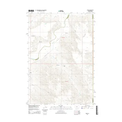
2015 Map of Pedro
USGS Topo · Published 2015About this map
The Cheyenne River winds through this sparsely populated West River landscape where Pennington, Meade, and Haakon counties meet. In the early 21st century, the small community of Pedro remains a primary landmark along the river's path, connected to the surrounding ranching country by rural routes like Wilsey Rd and Ash Creek Rd. The terrain is defined by a series of significant drainage features and flatlands, including Davidson Flat and Webb Draw, which lead toward the larger river valley.
Find a feature on this map
22 named features on this map. Tap any name to fly to it.
Don’t see what you’re looking for? This feature index may not catch every label — zoom into the map to look around manually.
Map Details
Editions of this 2015 Pedro Map
This is the sole edition of this map. No revisions or reprints were ever made.
Other maps of this area

1953 · Rapid City
USGS Topo · 1:250,000

1954 · Pierre
USGS Topo · 1:250,000

1955 · Bridger
USGS Topo · 1:24,000

1955 · Pedro
USGS Topo · 1:24,000

1955 · Pedro NW
USGS Topo · 1:24,000

1955 · Creighton
USGS Topo · 1:24,000

1955 · Howes
USGS Topo · 1:24,000

1955 · Pedro SE
USGS Topo · 1:24,000

1955 · Hilland NW
USGS Topo · 1:24,000

1957 · Rapid City
USGS Topo · 1:250,000