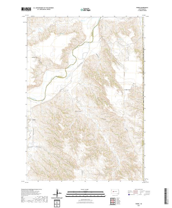
2021 Map of Pedro
USGS Topo · Published 2021About this map
The Cheyenne River winds through this West River landscape at the tri-county junction of Meade, Haakon, and Pennington. The small settlement of Pedro sits near the western edge of the map, serving as a landmark in a terrain defined by deep drainage systems like Webb Draw, Bourne Draw, and Green Draw. For genealogists and local historians, the Rose Cem is a primary point of interest on the eastern plateau near Ash Creek Rd. The map reveals a ranching and agricultural economy dependent on intermittent water sources such as Indian Spring and Huss Spring, and the network of unpaved roads like Mixes Food Creek Rd and Quinn-Pedro Rd that navigate the high flats and deep creek beds.
Find a feature on this map
23 named features on this map. Tap any name to fly to it.
Don’t see what you’re looking for? This feature index may not catch every label — zoom into the map to look around manually.
Map Details
Editions of this 2021 Pedro Map
This is the sole edition of this map. No revisions or reprints were ever made.
Other maps of this area

1953 · Rapid City
USGS Topo · 1:250,000

1954 · Pierre
USGS Topo · 1:250,000

1955 · Bridger
USGS Topo · 1:24,000

1955 · Pedro
USGS Topo · 1:24,000

1955 · Pedro NW
USGS Topo · 1:24,000

1955 · Creighton
USGS Topo · 1:24,000

1955 · Howes
USGS Topo · 1:24,000

1955 · Pedro SE
USGS Topo · 1:24,000

1955 · Hilland NW
USGS Topo · 1:24,000

1957 · Rapid City
USGS Topo · 1:250,000