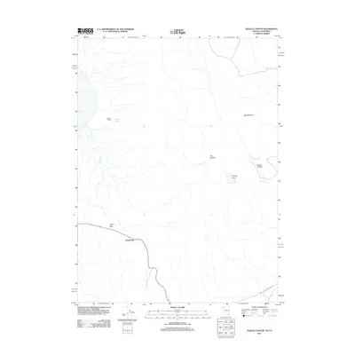
2011 Map of Pegleg Canyon
USGS Topo · Published 2011About this map
Reederville sits at the southern reach of this arid basin near the border of Nevada and California. The landscape is defined by sparse water sources and topographic relief, ranging from the heights of Red Mountain to the sunken depression of The Dry Lake. Human activity centers on isolated outposts like the Murphy Ranch and the historic marker of the Hausen Post Office, reflecting the long-standing ranching and mail-route history of Washoe County.
Find a feature on this map
11 named features on this map. Tap any name to fly to it.
Don’t see what you’re looking for? This feature index may not catch every label — zoom into the map to look around manually.
Map Details
Editions of this 2011 Pegleg Canyon Map
This is the sole edition of this map. No revisions or reprints were ever made.
Other maps of this area

1886 · Alturas
USGS Topo · 1:250,000

1889 · Long Valley
USGS Topo · 1:250,000

1892 · Alturas
USGS Topo · 1:250,000

1954 · Vya
USGS Topo · 1:250,000

1954 · Alturas
USGS Topo · 1:250,000

1958 · Alturas
USGS Topo · 1:250,000

1958 · Vya
USGS Topo · 1:250,000

1962 · Alturas
USGS Topo · 1:250,000

1962 · Vya
USGS Topo · 1:250,000

1962 · Snake Lake
USGS Topo · 1:24,000