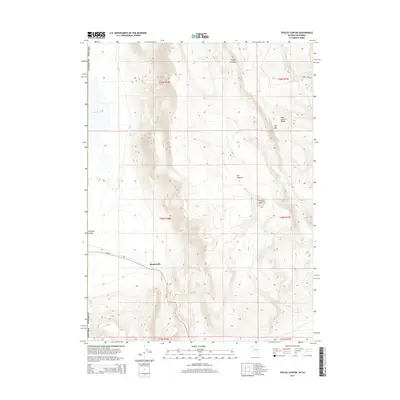
2015 Map of Pegleg Canyon
USGS Topo · Published 2015About this map
Reederville sits at the southwestern edge of a high-desert landscape defined by the drainage of Pegleg Canyon and the eastern slopes of the Hays Canyon Range. This high-altitude basin in Washoe County reveals a complex network of seasonal water sources and landmarks essential for navigating the arid terrain, including Murphy Spring and Packsaddle Spring at the northern limits. The topography is dominated by dramatic elevation changes, rising from the floor of Surprise Valley to the heights of Red Mtn.
Find a feature on this map
20 named features on this map. Tap any name to fly to it.
Don’t see what you’re looking for? This feature index may not catch every label — zoom into the map to look around manually.
Map Details
Editions of this 2015 Pegleg Canyon Map
This is the sole edition of this map. No revisions or reprints were ever made.
Other maps of this area

1886 · Alturas
USGS Topo · 1:250,000

1889 · Long Valley
USGS Topo · 1:250,000

1892 · Alturas
USGS Topo · 1:250,000

1954 · Vya
USGS Topo · 1:250,000

1954 · Alturas
USGS Topo · 1:250,000

1958 · Alturas
USGS Topo · 1:250,000

1958 · Vya
USGS Topo · 1:250,000

1962 · Alturas
USGS Topo · 1:250,000

1962 · Vya
USGS Topo · 1:250,000

1962 · Snake Lake
USGS Topo · 1:24,000